Tayside Recorders - Help For Recorders
The four W’s in biological recording
- Who: Person who is making the observation.
- What: What you saw in as much detail as possible including the numbers of the species.
- Where: Where the observation was made, detailed description of the habitat, grid reference (Ordnance survey is available for this).
- When: When you made the observation.
What is a Watsonian vice county –
Watsonian vice-counties are subdivisions of Great Britain and Ireland used largely for the purposes of biological recording.
The system was devised by a botanist, Hewett Cottrell Watson, in 1852.
The vice-counties are based on the ancient counties of Britain, but these were often subdivided to create areas of similar size. The vice-counties have remained unchanged by subsequent local government reorganisations, allowing historical and modern data to be more accurately compared.
Every vice-county in Britain has a name, and additionally, they are numbered from 1 to 112. Vice counties in Ireland are numbered from H1 to H40.
In the Tayside region we may encounter the following vice counties
- 86 Stirlingshire
- 87 West Perthshire
- 88 Mid Perthshire
- 89 East Perthshire
- 90 Angus
The Biological Records Centre have a Vice County grid square generator – Click Here
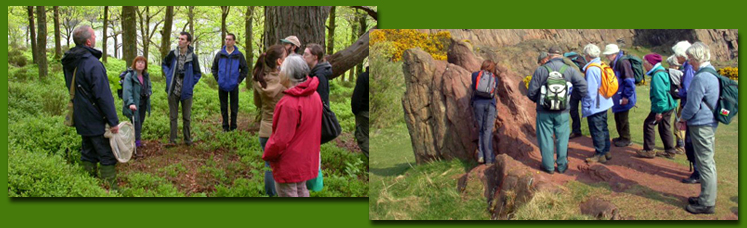
For information on what you can do go to the ‘Get involved’ section and then towards ‘Projects’ on the main Biodiversity menu.